You are currently viewing Innovative Drone Surveys for Beach and Coastal Projects
A photo from the survey of Barefoot Beach in Naples, Florida

Innovative Drone Surveys for Beach and Coastal Projects

Using Drones to Survey Beaches and Coastal Projects

Part One: Municipalities, Counties, and Governments.

On coastal projects such as beach re-nourishment, jetty construction and repair, and wildlife monitoring aerial surveying services, are invaluable at every step of the project. Municipalities and counties, engineers, contractors, and third party inspectors can all benefit from the wealth of data our services deliver.

Municipalities care about their beaches

Governments care deeply about their beaches and water frontage. Consumers in their areas value the property on the water (beach or lake) and the tourism that drives the local economies. The water brings health to our communities. The quality of life depends on to the coastal environment via the food chain, water plane, and water’s function in air quality control.

For an example let’s look at Southwest Florida’s Collier County. According to the Collier County Convention & Visitors Bureau, tourism’s economic impact for the 2017 calendar year totaled over 2 Billion dollars. This was generated from visitor spending in the area. Many of these visitors are in Collier County to visit the beautiful beaches in Naples and Marco Island.

aerial beach surveying and mapping

How drone survey data helps beach and coastal projects

How does our drone survey data help counties and municipalities? Our drone based surveys reduce the cost of gathering incredibly accurate, high quality data across large areas on a regular basis. This means we can dispatch our crews to generate detailed maps. These maps show the amount of sand on beaches quarterly or yearly, allowing for detailed information of losses and damage occurred after events like hurricanes. The data also helps identify areas that are damaged. Whether that damage is due to normal wear and erosion or a disaster the data allows us to model beaches very accurately.

It allows municipalities to budget and plan based on much more accurate data. Governments can then redevelop areas  affected by both regular and traumatic events. Reoccurring observations mean more accurate budgeting. Dense datasets mean that planning is incredibly easy, as all of the data needed to solicit bids from contractors is already gathered and for catastrophic events, the previous condition of the beach is known. Lastly, regular surveys done during the work helps the county’s or municipality’s awareness and control of their project. Mistakes can be discovered as they are happening instead of after the fact, which means fewer delays and less disruption to the community.

Aerial Beach Survey Photo
Photo of a beach surveyed by Florida Aerial Survey Technologies in Naples Florida

Sounds awesome. What does it cost?

If all of this sounds like it would cost an epic amount of money, our price for regular surveying is significantly less than traditional methods. This fact combined with the opportunity cost of lost tourism revenue and the cost of delays and overruns makes this method of surveying incredibly cost effective and wise in the long term. A 1% decrease in tourism can equal a $20,000,000 lost in economic benefits a year in an area like Naples.

We serve all of Florida, the Caribbean, and other inter-state and international areas. We love doing work on the beach, it’s a beautiful place to be, and we would be happy to answer any questions about our services and quote any job.

Beach Survey Photo
Photo of Doctors Pass in Naples prior to survey by Florida Aerial Survey Technologies
Aerial Drone Photography of a mining site with stock piles in Punta Gorda, Florida
As-Built Survey

3 Ways Stockpile Measurements Help Mining And Quarry Companies

Mining and quarry companies can benefit immensely by using technology, specifically drone technology, to perform …

Aerial photo of asphalt plant and stockpiles with forest in background
As-Built Survey

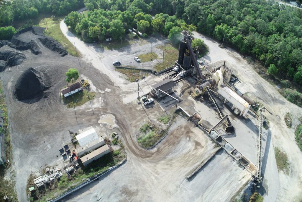
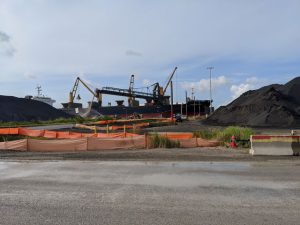
3 Ways Measuring Stockpiles Help Asphalt Plants

It wasn’t long ago that measuring asphalt and raw aggregate stockpiles required a small team …

Florida Aerial Survey Technologies topographic map of road showing trees and grassy areas with an S shaped curve that is being outlined in the topographic map
As-Built Survey

How Topographic Maps Are Used

Before we describe how topographic maps are used, let’s define what a topographic map is. …

topographic mapping with drones
As-Built Survey

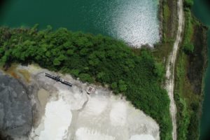
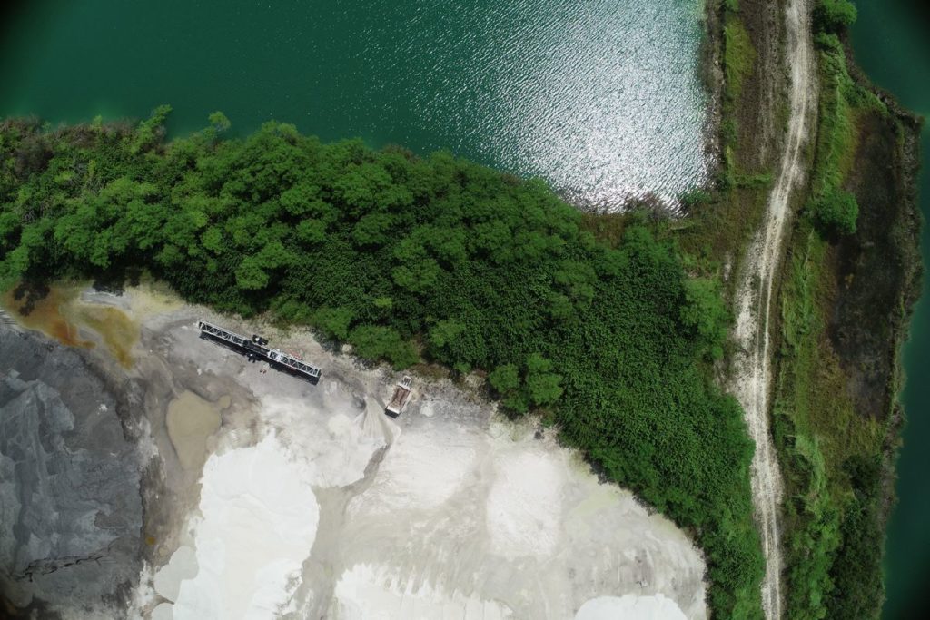
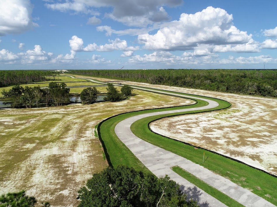
How Can Drones Be Used for Topographic Mapping?

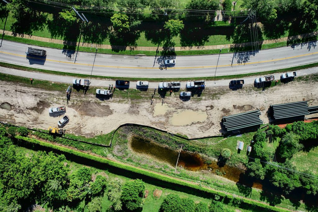
Topographic Mapping with Drones In the past, creating topographic maps could be a laborious task …

Leave a Reply