
Precision Aerial Solutions for Smarter Decision-Making
Capture, process, and analyze geospatial data with cutting-edge drone technology for enhanced accuracy and efficiency. Licensed in Florida LB8247.
Trusted by Industry Leaders


What We Offer
From high-volume stockpile monitoring to detailed site analysis, FAST delivers precision aerial data tailored to your needs.


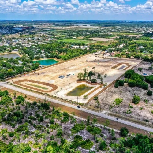
Tailored Drone Data Solutions for Every Industry
High-precision aerial data designed to enhance efficiency, streamline workflows, and support data-driven decision-making.

At FAST, we know that precision and speed are key to delivering aerial data that empowers businesses to make smarter decisions.
Data Accuracy achieved in geospatial processing.
Average turnaround time for our existing client projects (under 50 acres).
Typical tolerance on cut-fill, stockpile, and other dirt measurement calculations.
Licensed and Insured for both FAA Drone Operations and Survey and Mapping in the State of Florida and Beyond!
Geospatial Expertise. Local Execution
Topographic data, 3D models, and aerial insights delivered across Florida by certified regional teams.


Get Professional Guidance for Your Survey Needs
Whether you need insights on survey types, accuracy levels, or project feasibility, our experts are here to help. Share your details, and we will contact you within 24 business hours with tailored recommendations.
Need Immediate Assistance?
+1 (239) 249-5228
Speak directly with our project team, Monday-Friday, 8am-6PM EST
Info@FloridaAerialSurvey.com
Reach out anytime - we respond within 24 hours
3606 Enterprise Ave STE 206, Naples, FL 34104
Florida HQ - available for drop-offs by appointment
Mon-Fri · 8:00am-6:00pm
Closed on federal holidays

Share Your Project Details
Let us know how we can assist you.
Expert Insights & Knowledge Hub
At FAST, we uphold the highest standards in aerial surveying and mapping, ensuring precision, compliance, and excellence in all our operations.