A definitive guide to topography
Got questions about topography? We have answers.
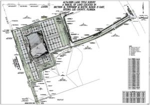
Topography is the representation of earth’s surface and artificial made modifications on a map. It is used to design and build structures, assess drainage issues, and evaluate the health of natural systems such as beaches. Topographic maps have been around for centuries helping militaries, construction companies, and engineers execute their projects with accurate data.
Common questions about topography
- What is topography?
- What is a topographic map?
- How do you read a topographic map?
- What are topographic maps used for?
- How can drones be used for topographic mapping?
- What do contour lines mean on a topographic map?
- How are topographic maps made?
- How long does it take to get a topographic survey?
External resources
Below are some external resources you can use to help further understand topography.
Often doing a job well means being well equipped with the proper tools. Topographic mapping is no different! Below are some tools that can be used to practice, understand, and interpret topographic data.
- Earthpoint – topographic overlay for Google. This tool will allow you to explore the contour lines of earth using data collected from various government programs.
- USGS Topoview – This tool allows you to download various pieces of national topographic material such as GeoTIFFs, JPEGs, and KML layers.
- Wikipedia — A detailed history and explanation of topography.
- 3D Map Generator – A tool for generating topographic models and overlaying photographs on them.
A brief history of topographic surveying in america
History of the word.
Going way way back, the Greeks are mostly responsible for the origin of the word topography. It meant the detailed description of a place. That makes sense, as it pretty much means the same thing today.
The word comes from the ancient Greek words topos meaning place and graphia meaning writing. While you may not be familiar with the prefix topos, graphia is widely used as a suffix today to indicate a writing. A biography is a writing about ones life, photography is essentially the “writing” of an image to a storage medium, etc.
History of surveying and mapping topography.
Now, surveying and mapping for the purpose of collecting topographic data started in Britain in the 1700’s for military purposes. However, the first use of the term topographic survey can be traced to the American “Topographic Bureau of the Army.” This division of the Army, formed during the war of 1812, was the predecessor of the Corp of Technical Engineers, which went on to become the Army Corp of Engineers that we know today.
Today the word is internationally recognized to mean a description of land features.
The future of topographic surveys.
Historically, recently historic but historic nonetheless, topography was estimated by “shooting” points with a rover RTK GPS system. Surveyors would collect a few hundred to a few thousand points that were representative of the terrain.
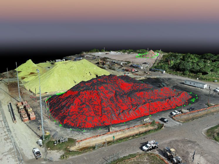
While this was a fairly accurate model the future of topography is much more detailed. With drones, we can collect millions of data points that accurately and precisely models the surface conditions of a site. With LiDAR we can even collect ground data through heavy forestry and vegetation.
Scheduling a survey
If you are looking to get a topographic survey, Florida Aerial Survey Technologies can definitely help! Feel free to contact us below to get more information.


