
Drone Mapping for Asphalt and Aggregate Yards
Track material stockpiles, yard layouts, and site elevations for asphalt and aggregate operations.
Actionable Mapping for Asphalt & Aggregates - from the silo to the site
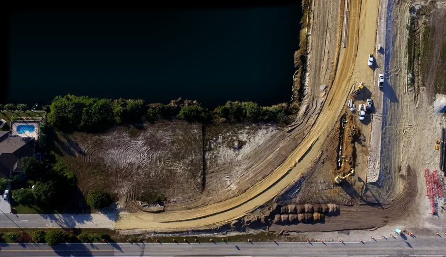
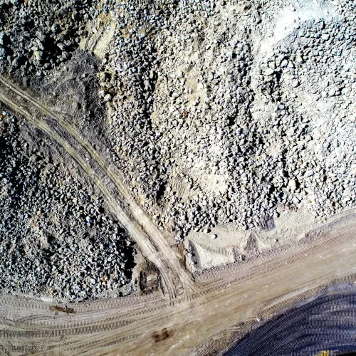
FAST provides drone-based surveys for asphalt producers and aggregate handlers. From accurate stockpile volumes to road layout and grading, we help material operators measure, document, and optimize their production and work sites.
Smarter Decisions Start with Better Data
Measure stockpile volumes monthly. Capture inventory tonnage. View plant infrastructure and manage your sites—all from the air. With FAST, you reduce manual effort, improve safety, and make inventory and compliance simpler.
Digital Management Tools Included
View yard layout, pile footprints, convert to tonnage, compare to previous surveys, and more all from your FAST Portal.
Progress Reporting for Projects
Measure on-site stockpiles, view build progress, measure elevations & cross-sections.
Restricted Airspace Specialists
Not only do we cover the entire state, we specialize in legally accessing sensitive and restricted airspace.
Why Operators Trust FAST for Site Clarity
Our data is quality controlled to 5% or tighter for stockpiles
Standard turnaround from flight to deliverables with rush options available in as little as 3 days.
Designed to support monthly or milestone-based tracking.
We verify our vertical tolerances with RTK GCP control providing vertical tolerances under 0.12 on our typical projects.

Workflows Adapted to Material Sites
Whether you're operating a single yard or regional network, FAST adapts to your site and reporting schedule.
On-Demand Quantity Verification
Schedule observation to align with cycle or phase milestones.
Talk to an ExpertCore Mapping Tools for Yard Coordination
Visualize material zones, access flow, and layout constraints with spatial references


Drone Surveys for Asphalt & Aggregates
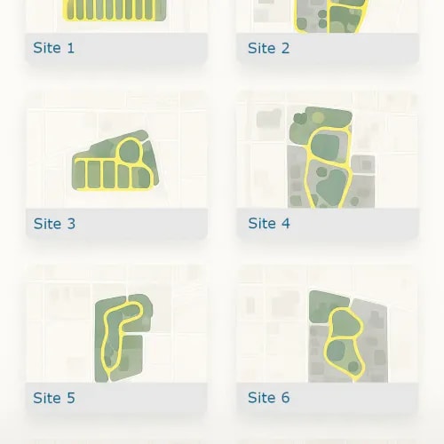
These locations show how we adapt our workflows to the real-world movement of materials — from plant yards to mining zones — across Florida.
Common Questions from Plant Operators
Explore how drone data applies to asphalt production, aggregate logistics, and yard operations.
Yes. Repeat captures provide awareness of size, shift, or replenishment trends.
No. Flights are conducted with minimal impact to ongoing logistics.
Yes. Mapping can be aligned to monthly, quarterly, or batch-based cycles.